First of all let me say super photo credit to Jon for that featured image.
This past weekend Jon and I went out to the suburb-y part of the East Bay (where I grew up) to explore the Pleasanton Ridge before all of the hills stop being green. All of the rain this year has really done wonders for all of the hills lately.
The Hike
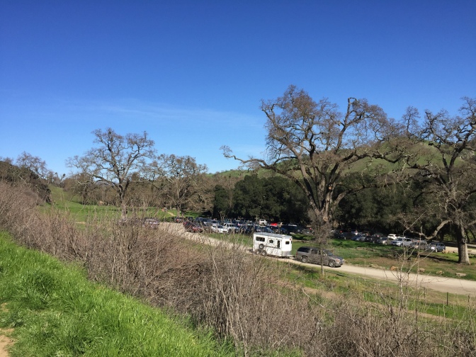
We began our short hike at the Foothill Staging Area right off of Foothill Road. We definitely plan to go back and attempt a much longer hike all the way up and down the whole ridge someday soon, but for this day, we took it easy due to Jon’s recent shoulder surgery.
There is a huge parking lot at the start of the trail, but due to the gorgeous weather, it was pretty full when we got there around noon. Next time we’ll have to drag ourselves out of bed a little earlier in the day to beat the crowds.
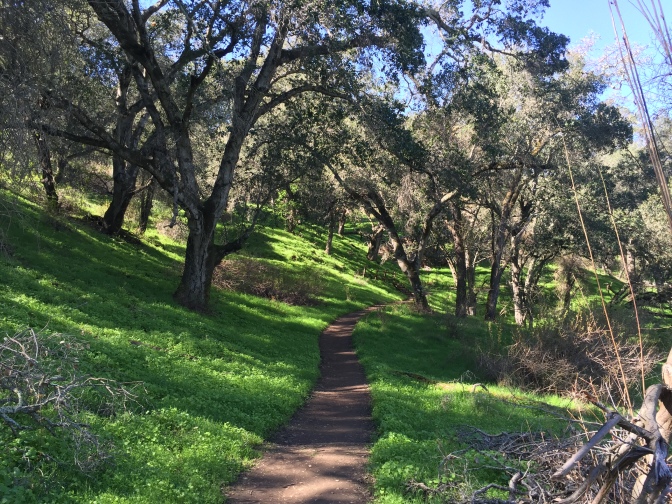
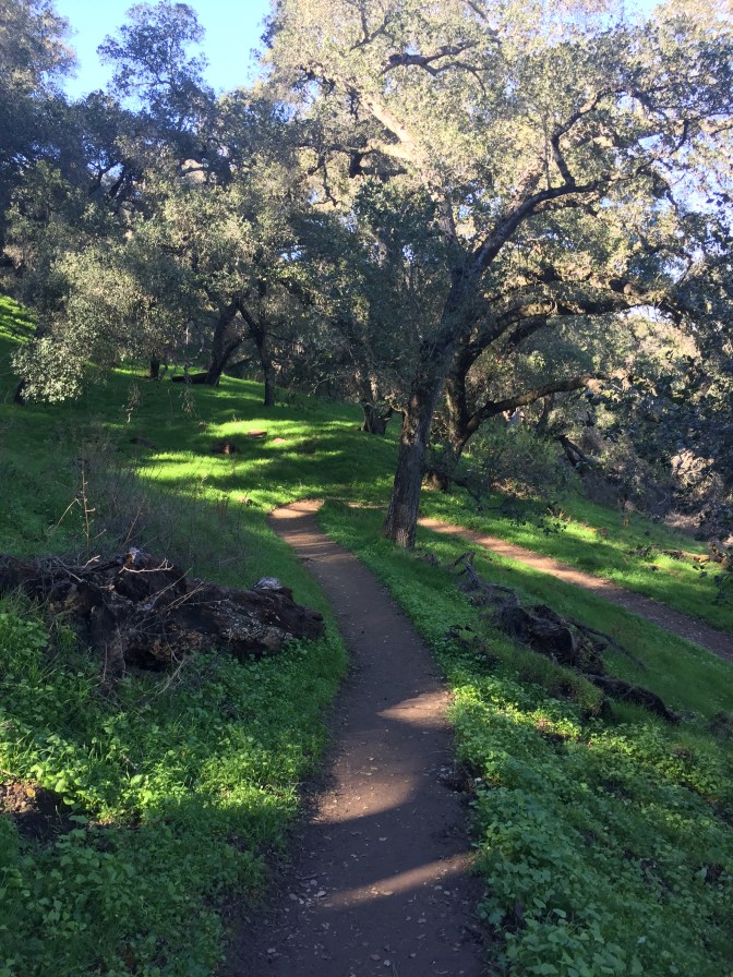
To get to the smaller more trail-looking part, we had to walk up a wide trail that reminded me of a fire road (the Oak Tree Trail). Right when the road started to turn to the right, we saw a small, grassy trail that lead through the greenery. That was our path.
Many people, especially those with children and strollers, preferred to stay on the Oak Tree Trail since it also leads to the top of the ridge so that is also totally a viable option. However, if you can, definitely go on the Woodland trail.
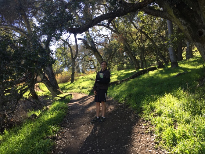
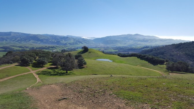
This path had lots of switchbacks to help curb the steepness of the hike and was completely shaded, which was really nice because we forgot our sunscreen. Everything was so lusciously green that we couldn’t help but stop to take a million pictures.
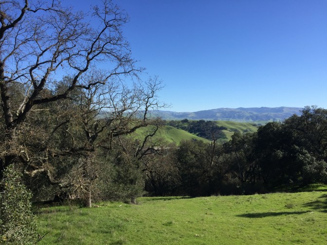
Although most of this part of the trail was covered, there were a few overlooks.
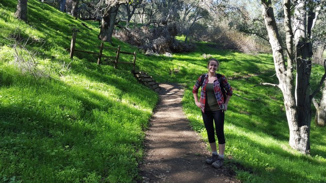
The Woodland trail ends where it meets up with the Oak Tree Trail. There is a trail that goes to the left that we decided to take (Ridgeline Trail).
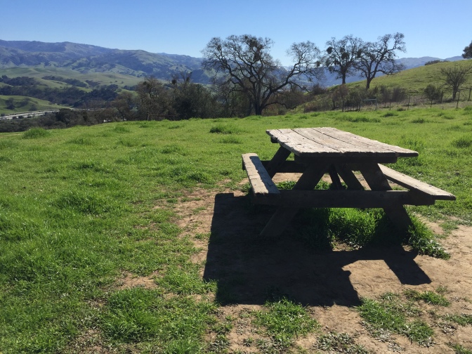
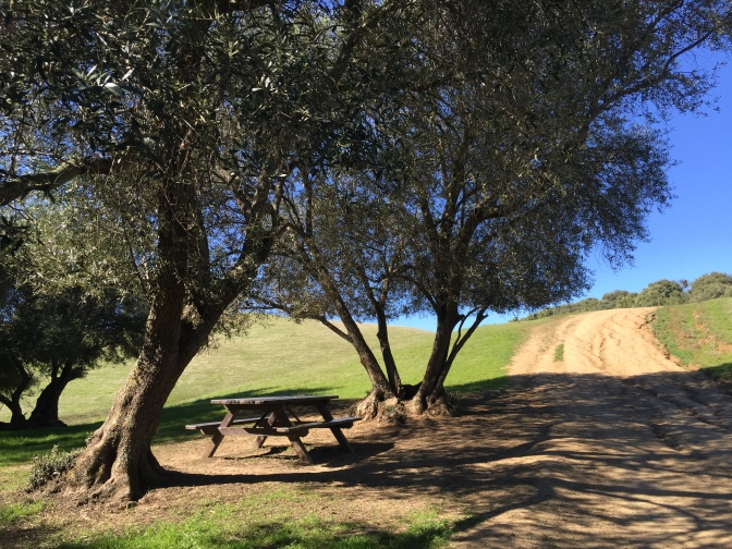
From what I could see, it’s a dead end, but there are gorgeous views from the top, complete with picnic table, that are worth the extra 5 minutes of hiking.
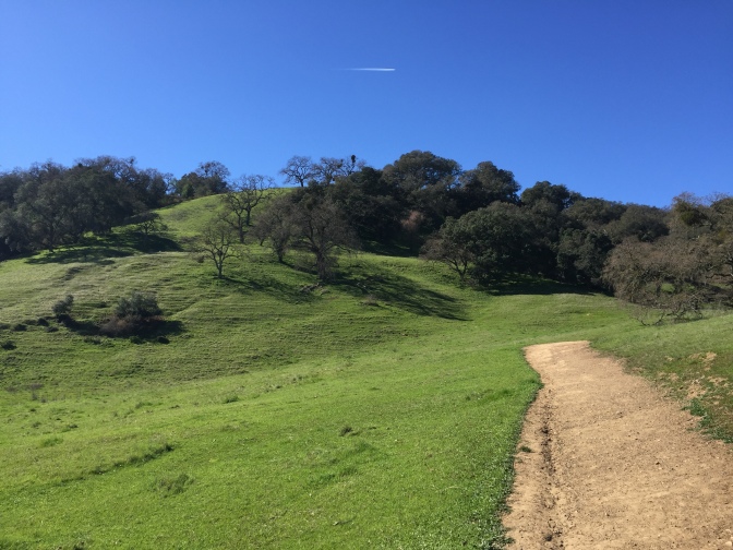
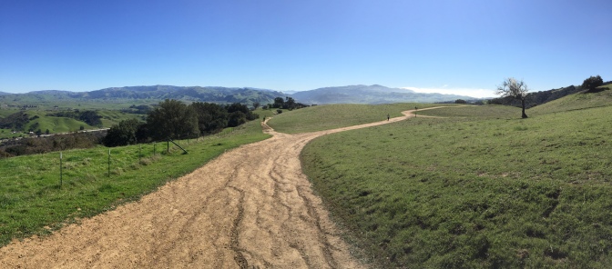
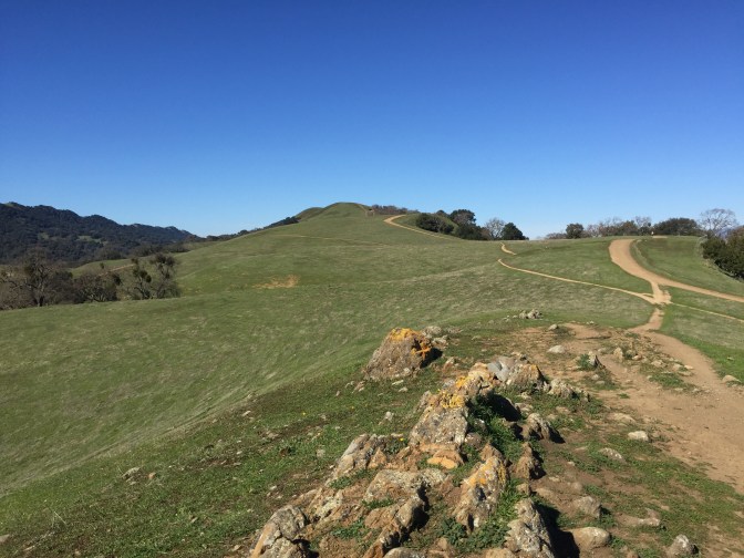
We decided to continue along the ridge, so after going back to the trail intersection, we took the trail that slanted up to the right (the continuation of the Ridgeline Trail). There is another option that is a similar route but it goes more down in the valley than up on the ridge. We wanted the views so we chose the Ridgeline Trail, and it did not disappoint.
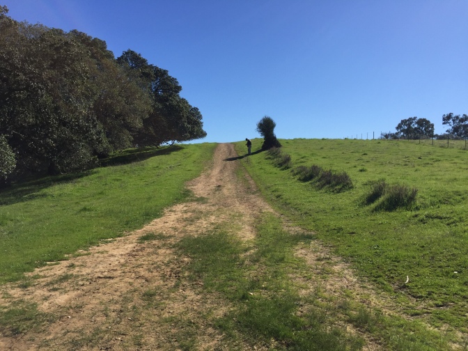
Fairly quickly into the hike, there were olive groves all around.
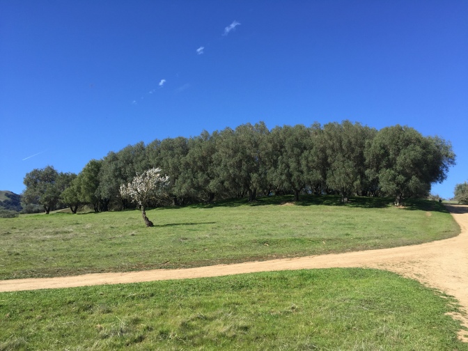
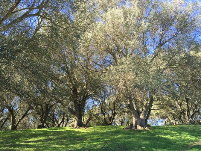
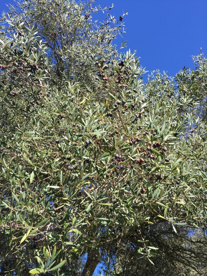
They provided a minimal amount of shade on the trail, but a few of the groves had picnic tables, which would be another nice place to enjoy lunch.
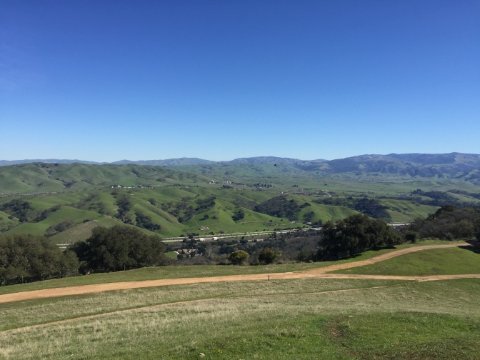
After a bit of walking through the groves, the real views start to appear.
We didn’t end up reaching the very peak of the ridge because Jon was very worried about getting a sunburn (he had a bad experience at Santa Cruz last year) so we turned back at around 1:30pm and got to the car around 2pm.
The Stats
Our hike ended up being close to 5 miles and took us about two and a half hours. You can check out our route in the photo below, but also take a minute to head over to EveryTrail and see some of the other routes people have done. There’s also another lovely blog post about Pleasanton Ridge at bahiker.com if you would like to read more.
This was an out-and-back hike so the trail was the same on the way back. The trail is very steep so if you have trouble with your knees, this may not be a good hike for you.
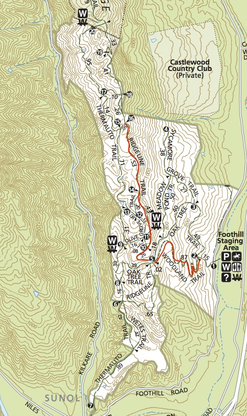
There are free maps with very well-marked trails available at the trail head, as well as numbered signs that correspond to the numbers on the trail map.
Beware that the signs do not have the trail names so it is important to grab a map or download one ahead of time here. At the same time, it’s pretty hard to get lost on this ridge so if you do decide to wing it, you’ll probably be fine.
A lot of this trail is unshaded so be sure to bring plenty of sunscreen. There is a spot to refill water bottles at the top of the ridge, so don’t worry about carrying your weight in water.
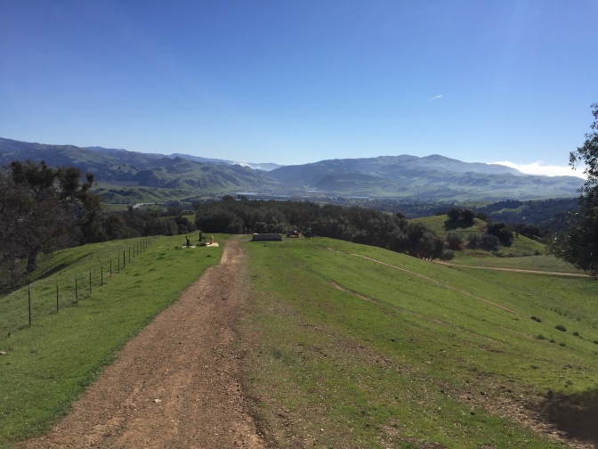
The ridge has tons of picnic tables with breathtaking views so this is a great place to bring a pack lunch and enjoy being out in nature.
Conclusion
If you want to see everything that the rolling foothills of the East Bay have to offer, then definitely make your way to Pleasanton Ridge. Not only do you get a fantastic work out, but you get to enjoy the beauty of nature while you’re at it! What could be better than that?
Have you ever been to Pleasanton Ridge? What’s your favorite hike with a view in the Bay Area? Share in the comments below!
