The Hike
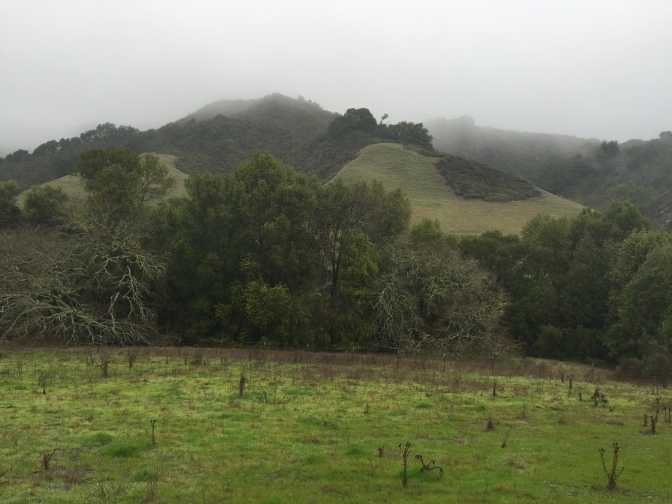
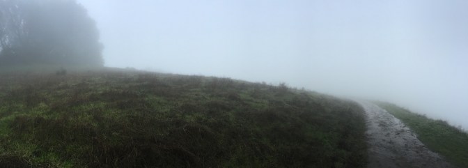
Normally when I head out to hike, it’s a clear and sunny day. I’m usually expecting to see some bird’s eye views and work up a decent sweat. This weekend, however, we started our hike in the rain, fog, and mud…and it was awesome! Although we didn’t get to see the rolling hills and green valleys that the Rocky Ridge Loop trail promises, we still experienced the thrill of being outdoors!

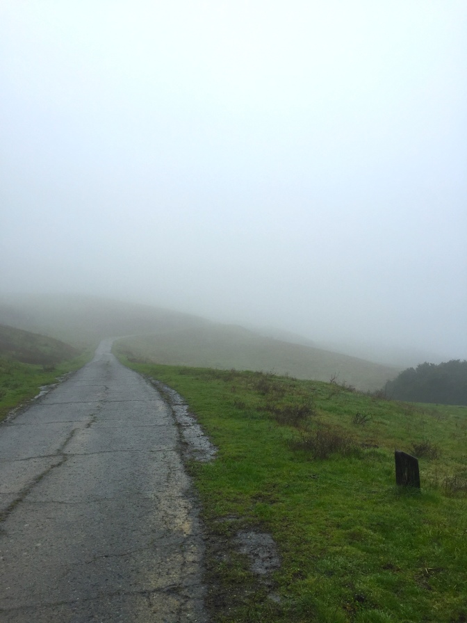
The hike begins on a paved trail that immediately slopes upward, bringing you to the ridge.
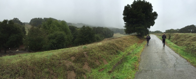
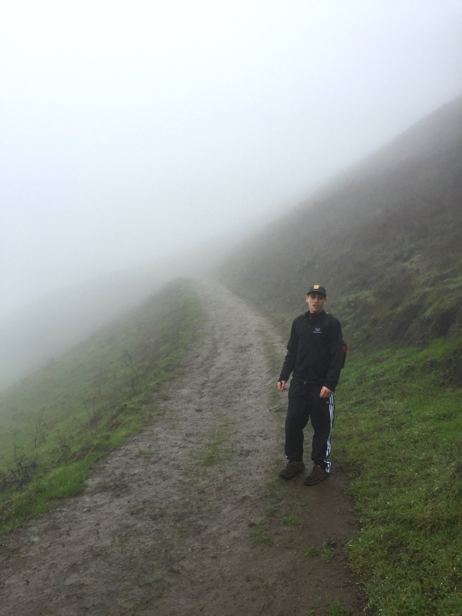
One of the things I noticed (and loved) immediately was that very few other people go hiking in the rain! During our entire 2.5-hour hike, we only experienced three other groups of people. Other than that, pure solitude and nature.
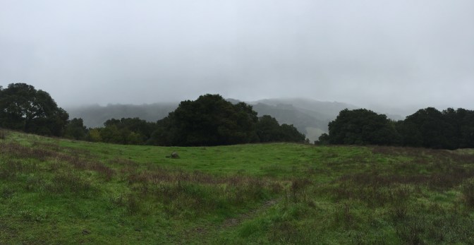
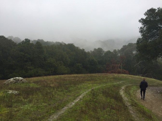
We got a small amount of tree coverage at first, but quickly emerged on open fields.
Winter is one of my favorite times to hike because the rain turns everything a vibrant shade of green!
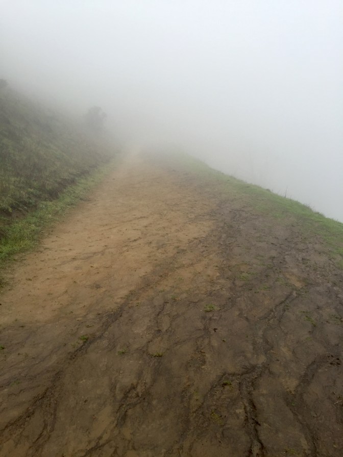
After following the paved road around a bend to the left, the trail turned to dirt (or mud, in our case!). Some parts got very slippery, but for the most part, it was steady and didn’t stick to our shoes too much.
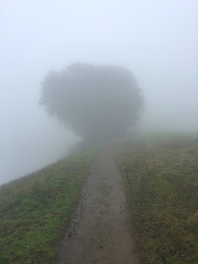
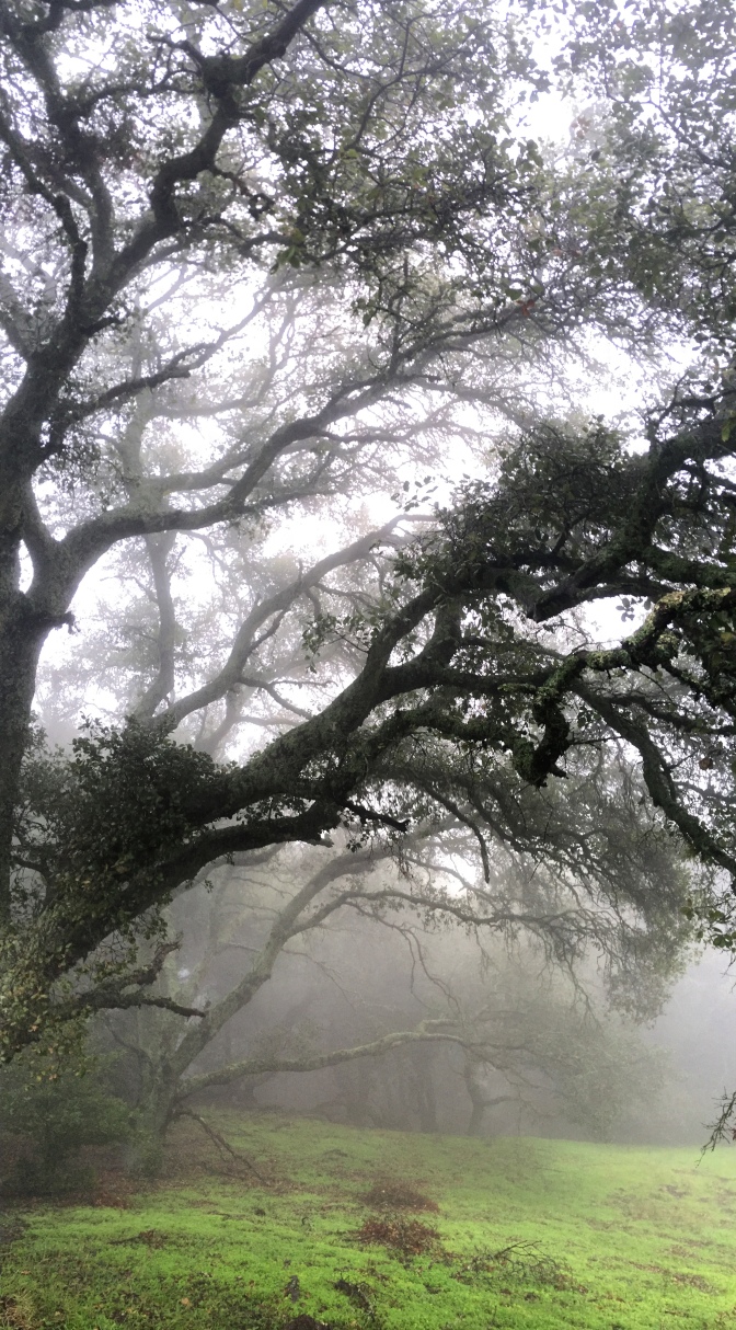
The higher we climbed, the more the fog surrounded us! It had a beautiful sort of creepiness to it.
I frequently checked the trail behind us, just to make sure we weren’t being followed by anything spooky.

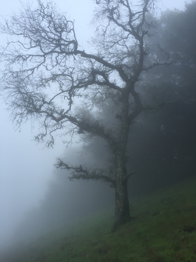
At one point, we saw a giant, lumbering shape appear right before our eyes! Turns out it was a tree.
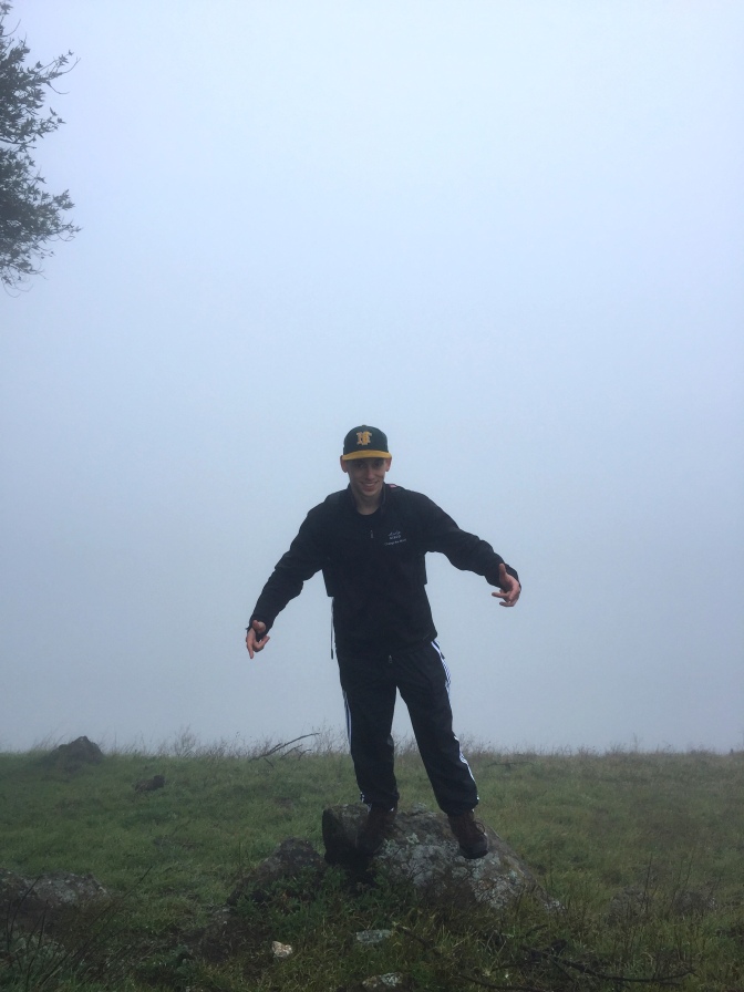
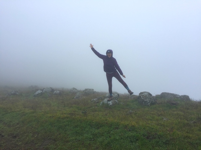
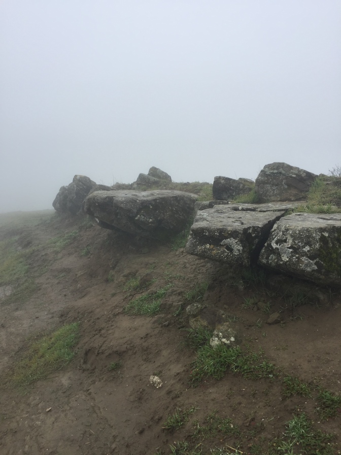
The trail began to level out as we reached the top of the ridge, about 1.5 miles into the hike. We noticed a few small rocks and boulders dotting the sides of the trail, but other than, we never really did figure out why it was dubbed “Rocky Ridge.” Of course, we climbed the ones we could find. Don’t worry, it’s not impressive.
As we began a slight downward trek, we started to see more trees.
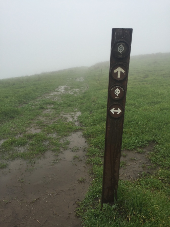
The Rocky Ridge Trail part of the loop comes to an abrupt end when you reach a sign post that directs you to take a left towards Elderberry Trail.
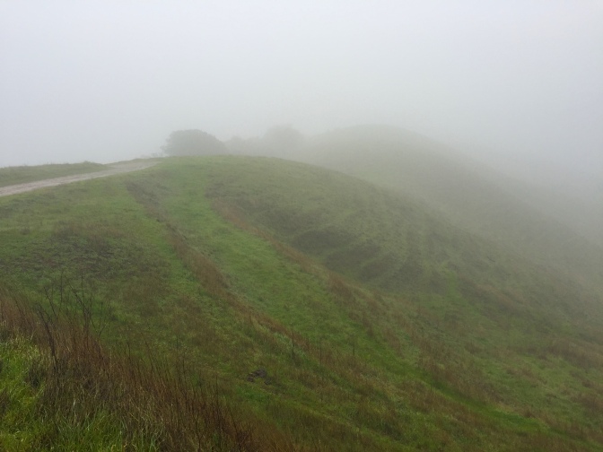
A lot of the surrounding hills we could see had little paths running parallel to each other down them the slopes. At first we thought maybe the grass wasn’t able to grow on the flat parts, but my mom informed me (apparently she took a class in college about California geology) that it’s made from the cows. They just slowly walk in lines across the hills and graze, which creates this striped hill effect.
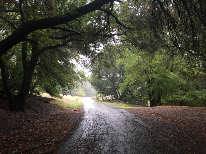
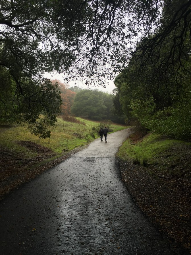
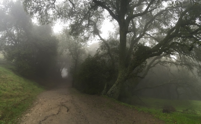
The next change of scenery on the Elderberry Trail lead us to a lot of tree coverage the lasted the rest of the hike. Maybe I’m just a Lord of the Rings fan, but this part reminded me of when Frodo and the gang first left the Shire and are pursued by the Nazgûl.
While we didn’t see very many animals during the majority of our hike, we did see this little newt friend in the underbrush! You can learn more about the different kinds of newts in California here (let me know if you can identify which one!) or more about newts in general here.
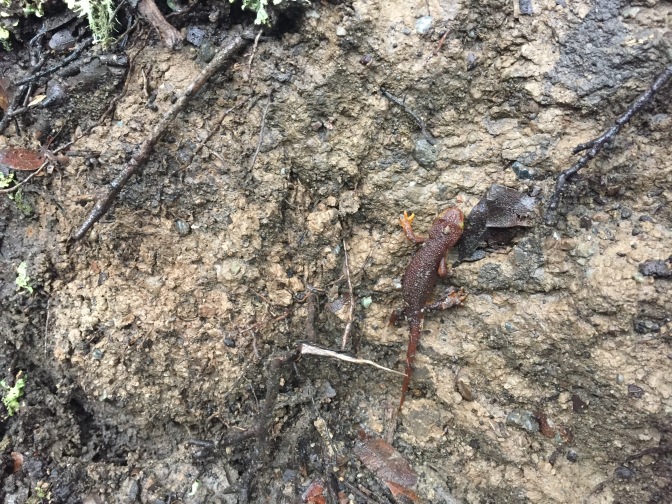
This little guy was attempting to get to the top of this small slope but having a difficult time of it. If you’re a heartless monster, you can watch him fall in this video I took.
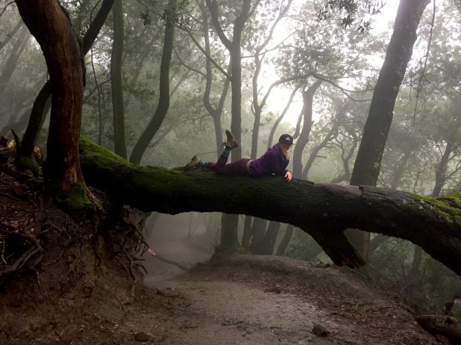
We really enjoyed this woodsy part of the trail because it gave us a lot more to look at than the ridge did, given the fog.
I even got to climb this log!
We ended the hike a little damp…

…but at the end, we were so glad for all we got to see.
The Stats
This hike is a 4.5-mile loop and is located in the Las Trampas Regional Wilderness (at the end of Bollinger Canyon Road). There is a parking lot and it is free! Just make sure that you leave before the gates shut around 5:30pm.
The first half of the hike is almost completely uphill. I think you gain around 1100 feet of elevation in the first mile or two, so it can make you a little short-of-breath!
Although this trail is well-marked with signs, I would still suggest taking a look at the trail map and route instructions on EveryTrail.
Conclusion
I would highly recommend this hike for anyone trying to get out of the house for a few hours. On a rainy day, like the one we went on, you won’t get the views that the Rocky Ridge trail boasts of, but you will enjoy a few changes in scenery and a pleasant walk.
We are hoping to return to this trail in the spring so that we can see more of the surrounding area and hopefully see some wildflowers!
